
The Mountains of Crete
Ernest ·
Crete has four mountain systems, not one. Psiloritis (Mount Ida) is the highest, rising to 2,456 m at Timios Stavros — a karst limestone massif with five main summits over 2,000 m, designated a UNESCO Global Geopark in 2015. Lefka Ori, the White Mountains of the west, is the largest and wildest: about 57 peaks above 2,000 m and roughly 54 more between 1,500 and 2,000 m, topped by Pachnes at 2,453 m, with the island's deepest gorges cut through it. Dikti in the east reaches 2,148 m at Spathi and wraps in a horseshoe around the fertile Lasithi Plateau. And the Asterousia, south of the Messara Plain, are the southernmost mountains in Europe — lower, at 1,231 m on Kofinas, but dropping straight into the Libyan Sea. All four are limestone, all four are shaped by karst processes that send water underground, and all four are best walked from late spring to early autumn.
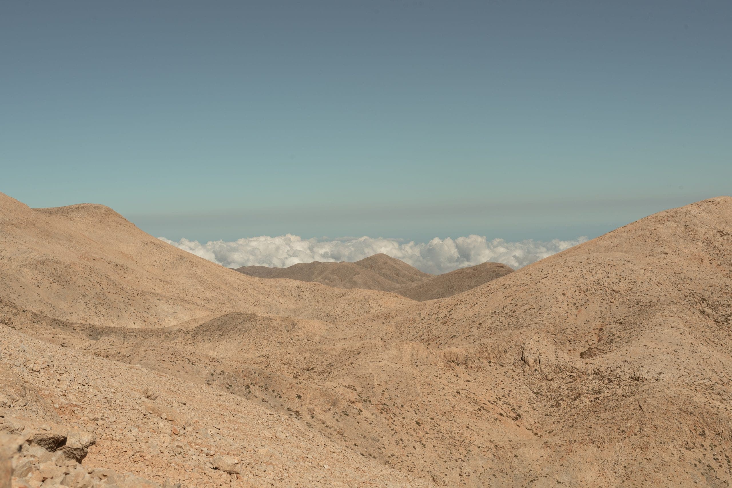
At a glance
- Highest mountain in Crete
- Psiloritis (Mount Ida), 2,456 m at the Timios Stavros summit
- Second highest
- Pachnes, 2,453 m, in the Lefka Ori
- Peaks over 2,000 m in Lefka Ori
- About 57, plus roughly 54 more between 1,500 and 2,000 m
- Highest peak in Dikti
- Spathi, 2,148 m
- Highest peak in the Asterousia
- Kofinas, 1,231 m — the southernmost mountains in Europe
- UNESCO status
- Psiloritis was designated a UNESCO Global Geopark in 2015
- Deepest cave
- Gourgouthakas, beneath Lefka Ori, more than 1,100 m deep
- Lasithi Plateau altitude
- Around 850 m above sea level
- Best window for summits
- Late spring to early autumn, snow permitting
Crete's mountains are not hills inland. They are real mountain systems, sculpted by deep geological forces, worn by wind and rain, and alive with plant and animal life that exists nowhere else. Walking their slopes feels like travelling between worlds — from olive groves and fragrant herbs to alpine desert and snow-covered ridges.
The four ranges at a glance
| Range | Highest peak | Height | Where | Character |
|---|---|---|---|---|
| Psiloritis (Mount Ida) | Timios Stavros | 2,456 m | Centre of the island | Karst massif with five main summits over 2,000 m; UNESCO Global Geopark |
| Lefka Ori (White Mountains) | Pachnes | 2,453 m | West, Chania | About 57 peaks over 2,000 m; the island's deepest gorges and caves |
| Dikti (Lasithiotika Ori) | Spathi | 2,148 m | East, between Lasithi and Heraklion | Horseshoe massif around fertile plateaus; the largest pine forest in Crete |
| Asterousia | Kofinas | 1,231 m | South of the Messara Plain | Southernmost mountains in Europe; cliffs straight into the Libyan Sea |
For the individual walking routes through these ranges — distances, descents and times — see our guide to the best hiking trails in Crete. What follows is the mountains themselves.
Psiloritis (Mount Ida): the central giant
The mountain most closely tied to the soul of Crete is Psiloritis, known to the ancient Greeks as Mount Ida. Rising to 2,456 m at Timios Stavros, it is more than the tallest peak on the island: it is a vast and complex system of stone, life and myth.
How many summits
Psiloritis is not a single standalone peak but a broad massif with multiple high points. Its core area holds five main summits over 2,000 m, with Timios Stavros at the top. Rather than one mountain you climb, experienced hikers describe it as a small mountain range or alpine plateau, with high basins, natural amphitheatres and interconnected ridges running in different directions.
Geology: a mountain that tells the Earth's story
Psiloritis is karst limestone, formed mostly from ancient sea sediments pushed upward over millions of years as the African and Eurasian plates collided. The tectonic story is written into the rock:
- Some layers hold fossils and ancient marine life, remnants of a time when the region lay deep underwater.
- The limestone bedrock lets water create caves, sinkholes, underground streams and dramatic rock formations — the hallmarks of karst terrain.
- At the Vossakos open-air fold museum you can see the visible folds and fault lines where pressure bent solid rock into shape.
The karst nature also means surface water is rare and fleeting: rainfall and snowmelt mostly disappear into cracks and flow underground rather than forming rivers.
Flora: from Mediterranean herbs to alpine specialists
Psiloritis layers ecologically as you climb. Lower slopes carry pine and evergreen oak blended with wild sage, thyme and oregano. Mid elevations hold kermes oak, the rare Cretan zelkova, cyclamen and orchids. Higher up, endemic specialists take over: Polygonum idaeum, found only on Crete, grows on the Nida Plateau, alongside snow crocus; the Gious Kambos plateau carries the unique red tulip Tulipa doerfleri among numerous orchids. One of the rarest and most endangered plants on the island, Horstrissea dolinicola, grows only near the Skinakas summit area.
Fauna: life in the rocky heights
Psiloritis is a biodiversity hotspot, partly because isolated islands preserve life forms found nowhere else.
- Raptors: griffon vultures — one of Europe's most impressive birds of prey — plus golden eagles, Bonelli's eagles, peregrine falcons and kestrels.
- Mammals: the Cretan wildcat (Felis silvestris cretensis) lives here, though it is rarely seen.
- Reptiles and amphibians: lizards and snakes on the paths, with seasonally wet pockets serving as breeding sites for frogs and toads.
- Underground life: caves host large bat populations and specialised invertebrates adapted over millennia to the dark.
A UNESCO Global Geopark
In 2015 Psiloritis was designated a UNESCO Global Geopark, recognising both its scenery and its scientific importance: the massif displays an almost complete geological timeline from ancient marine sediments to modern fault lines. Within the Geopark are folded rock outcrops that are textbook examples of tectonic movement, doline basins and natural amphitheatres, and show caves including Sfentoni, Melidoni and the famous Ideon Andron, sacred since Minoan times and linked to the legend of Zeus's birth.
People and villages
This is not a landscape untouched by people. Mitata — traditional stone shepherd huts — dot the highlands as symbols of a long relationship between humans and hard terrain. The archaeological site of Zominthos shows Bronze Age settlement at altitude. Mountain villages including Anogia, Zoniana, Gergeri, Kouroutes and Zaros keep the crafts and hospitality of that mountain life going.
Lefka Ori: the White Mountains
The Lefka Ori are the most dramatic mountain landscape in the Mediterranean and the wildest part of Crete. This is not a peak but a complex massif stretching across the west of the island.
How many peaks
They host about 57 peaks exceeding 2,000 m, scattered across a wide highland area, plus roughly 54 more between 1,500 and 2,000 m. The tallest is Pachnes at 2,453 m, the second-highest summit in Crete after Psiloritis. From there dozens of others rise in every direction — Troharis, Mesa Soros, Dipli Thodori, Bournelos, Svourihti, Grias Soros, Kakovoli — each with its own shape. The sheer number of high points means Lefka Ori never feels like a single mountain. It feels like a rugged world.
Geology and landscape
The name comes from the colour of the limestone and marble that dominate the range and reflect light strongly, especially when dusted with snow. Sedimentary rock has been pushed up, folded and cracked into steep ridges, cliffs and expansive plateaus. Karst processes — water slowly dissolving limestone — have carved deep gorges, sinkholes and vast cave systems. The most famous of those is Gourgouthakas Cave, for years classified among the deepest caves in Greece at more than 1,100 m.
A mountain world in miniature
Plant life changes dramatically with altitude. Lower elevations carry pine forest (including Pinus brutia), oak, cypress and Mediterranean scrub, especially on southern slopes and near the gorges. Mid elevations shift into shrubland and open meadows of fragrant herbs. Above roughly 1,500 m, alpine vegetation appears — hardy, low to the ground, and often unique to the range.
Experts estimate about 950 plant species across the White Mountains, with over 100 considered Cretan endemics and about 25 found only here. Rare peonies, cushion plants and tiny orchids bloom for short periods in spring, throwing colour across the rocks.
The animal life matches it. Around 200 bird species use the mountains year-round, on migration or for wintering, with griffon vultures, golden eagles, Bonelli's eagles and peregrine falcons riding the thermals above the ridges. About 32 mammal species have been recorded, including the Cretan wild goat, the kri-kri, which climbs sheer cliffs with ease. Endemic and native reptiles such as wall lizards and skinks share the ground with the Cretan frog in seasonal mountain waterholes.
Gorges and long trails
Some of the most stunning natural corridors in Europe cut through this range: Samaria, the long descent from high mountains to the sea; Imbros, quieter and narrower; and Agia Irini, Aradena, Tripiti, Kalikratis and Klados. The E4 European Long-Distance Path crosses the massif, connecting villages, plateaus like Omalos and Askifou, gorges and ridges, and mountain refuges make multi-day traverses above 2,000 m possible for experienced trekkers.
Dikti: the eastern highlands
The Dikti Mountains, also known as the Lasithiotika Ori, stretch across the east of the island between Lasithi and Heraklion. Unlike the sheer ridges of Lefka Ori, Dikti mixes gentle plateaus, steep peaks, deep gorges and fertile valleys.
Peaks
| Peak | Height | Note |
|---|---|---|
| Spathi | 2,148 m | The highest summit in the range, with views over the Lasithi Plateau to both the Aegean and the Libyan Sea |
| Afentis Christos / Psari Madara | 2,141 m | Close to Spathi and often included in summit hikes |
| Lazaros | 2,085 m | Lower but equally rugged |
Below those, a horseshoe of secondary summits wraps around the central valleys: Madara (1,783 m), Skafidaras (1,673 m), Katharo Tsivi (1,665 m), Sarakino (1,588 m), Afentis (1,571 m), Selena (1,559 m) and more. You can explore substantial ridges here without ever climbing the highest summit.
Geology, flora and fauna
Dikti is limestone and dolomite, ancient seabed pushed up and folded, then eroded into peaks, gorges, canyons, caves and plateaus. Because of the limestone, water disappears underground and feeds subterranean channels and springs rather than persistent streams — which has shaped both the ecology and the way people use the land.
Vegetation shifts with altitude. Up to about 800 m, dense maquis of drought-tolerant olive, carob and aromatic herbs. Between roughly 800 and 1,800 m, mixed pine and oak woodland of Aleppo pine, kermes oak, Cretan maple and cypress — the Selakano Forest on the southern slopes is one of the largest pine stands in Crete. Above about 1,800 m, alpine scrubland and herb communities take over, with Cretan dittany (Origanum dictamnus), endemic lilies and Alyssum and Galium species.
Griffon vultures, golden eagles and occasional Bonelli's eagles patrol the cliffs; the elusive Cretan wildcat shelters in forested and rocky ground; and seasonal migrations make plateaus like Lasithi important stopovers for falcons and red-footed raptors in spring and autumn.
The plateaus
At the core lies the Lasithi Plateau, sprawling at around 850 m above sea level. Once irrigated by the white windmills that still dot its fields, it remains a working agricultural centre producing potatoes, vegetables, apples, pears, cherries and nuts. Smaller plateaus punctuate the highlands — Katharo, Limnakaro, Mari, Lapathos, Erganos, Nisimos and a second, smaller Omalos, not to be confused with the Omalos of the White Mountains — each combining pastoral life with access points for walking.
Zeus's birthplace
Near the village of Psychro on the northern slopes lies the Dikteon Antron, the Psychro Cave — one of the legendary sites identified as the cave where Zeus was born. Its stalactites, stalagmites and chambers were used for ritual and worship in antiquity.
Asterousia: the southernmost mountains in Europe
Between the fertile Messara Plain and the deep Libyan Sea lies a very different range. The Asterousia are the southernmost mountainous area not just in Crete but in Europe, forming a natural border between the interior of the island and the sea. They are lower than the alpine ranges — the highest point is Mount Kofinas at 1,231 m, a peak considered sacred in Minoan times — but no less dramatic.
Landscape and geology
Intense erosion and tectonic uplift have produced a dry, steep, rugged landscape. Southward slopes drop sharply into the sea, forming sheer cliffs, narrow gorges and hidden coves. Surface water is scarce, but where it appears it has carved deep features such as the Ambas Gorge and its waterfall, one of the tallest in Greece. Gorges including Agiofarago, Martsalo and Ambas cut through limestone and dolomite walls that reveal ancient marine sediments.
A harsh but rich environment
At first glance the range looks barren. It is not. The region hosts around 1,800 plant species, of which roughly 180 are steno-endemic — living only here — and at least 14 habitat types of European conservation importance, including groves of Phoenix theophrasti, one of the few native European palms, at places such as Agios Nikitas. Phrygana and low scrub dominate the slopes, with pockets of pine, carob, wild olive and cypress surviving where goats graze less intensely.
At least 192 bird species have been recorded. The range is crucial habitat for griffon vultures, bearded vultures, golden eagles, Bonelli's eagles, peregrine falcons and lanner falcons, and a spring and autumn stopover for migrants crossing between Europe and Africa. Monk seals (Monachus monachus) and sea turtles use the coastal zone.
Trails and climbing
The Asterousia carry more than 60 documented hiking paths, of which at least 14 are specially designed and signposted — some climbing to Kofinas from interior villages such as Kapetaniana, others dropping through gorges to secluded beaches. There are also more than 200 climbing routes, via ferrata sections with metal footholds and cables, and canyoning in gorges including Elygia, Tsoutsouras and Ambas, some accessible and some requiring technical gear. Sections are intended to link with the E4 long-distance trail.
Human history
The range has been inhabited since the Neolithic, with archaeological finds showing prehistoric settlement. Minoan peak sanctuaries, notably on the slopes of Kofinas, mark ancient religious practice. Hermits, monks and isolated communities have used the caves and slopes for centuries, and hermit dwellings and small chapels remain part of the landscape.
When to go
| Season | What the high mountains do |
|---|---|
| Spring | Snowmelt feeds ephemeral streams and springs; wildflowers carpet the high plateaus. The richest season for plants |
| Early summer | Clear skies and warm temperatures open the high ridges, though snow can linger on the highest peaks until May |
| Summer | Lower slopes dry out and water is scarce at altitude — carry plenty. Higher zones stay cooler and breezy |
| Autumn | Crisp air and clearer skies; golden light on ridge and valley. Excellent for long walks |
| Winter | Snow covers much of the high ground, turning the tops into a genuine alpine scene for months |
For summit walking, late spring through early autumn is the window, depending on snow conditions and how prepared you are. The plateaus and lower gorges have a much longer season.
Good to know
What is the highest mountain in Crete?+
Psiloritis, also known as Mount Ida, at 2,456 m. Its highest point is the Timios Stavros summit. Psiloritis is not a single peak but a broad karst massif with five main summits over 2,000 m.
How many mountain ranges does Crete have?+
Four main systems: Psiloritis in the centre, Lefka Ori (the White Mountains) in the west, Dikti in the east, and the lower Asterousia along the south coast below the Messara Plain.
Why are they called the White Mountains?+
The name comes from the limestone and marble that dominate the range and reflect light strongly, especially when the tops are dusted with snow — which they often are into May.
Where was Zeus born, according to myth?+
Two Cretan caves claim it. The Ideon Andron on Psiloritis has been sacred since Minoan times and is linked to the legend, and the Dikteon Antron — the Psychro Cave near the village of Psychro in the Dikti mountains — is the other site traditionally identified as his birthplace.
Are there wild goats in the Cretan mountains?+
Yes. The kri-kri, the Cretan wild goat, is one of about 32 mammal species recorded in the Lefka Ori, and climbs sheer cliffs with ease. The Cretan wildcat also lives in the mountains but is very rarely seen.
When is the best time to walk in the mountains of Crete?+
Late spring to early autumn for anything at altitude. Snow can linger on the highest peaks until May, summer leaves the lower slopes dry and water scarce, and autumn brings crisp air and clear skies. Winter closes the high ground under snow for months.
Why is there so little surface water in the Cretan mountains?+
All four ranges are limestone, and karst processes send water underground. Rainfall and snowmelt disappear into cracks and flow through subterranean channels rather than forming persistent streams, which is why springs matter so much to mountain villages and why hikers should carry their own water.
Tours mentioned in this guide
 Hiking
Pachnes Summit
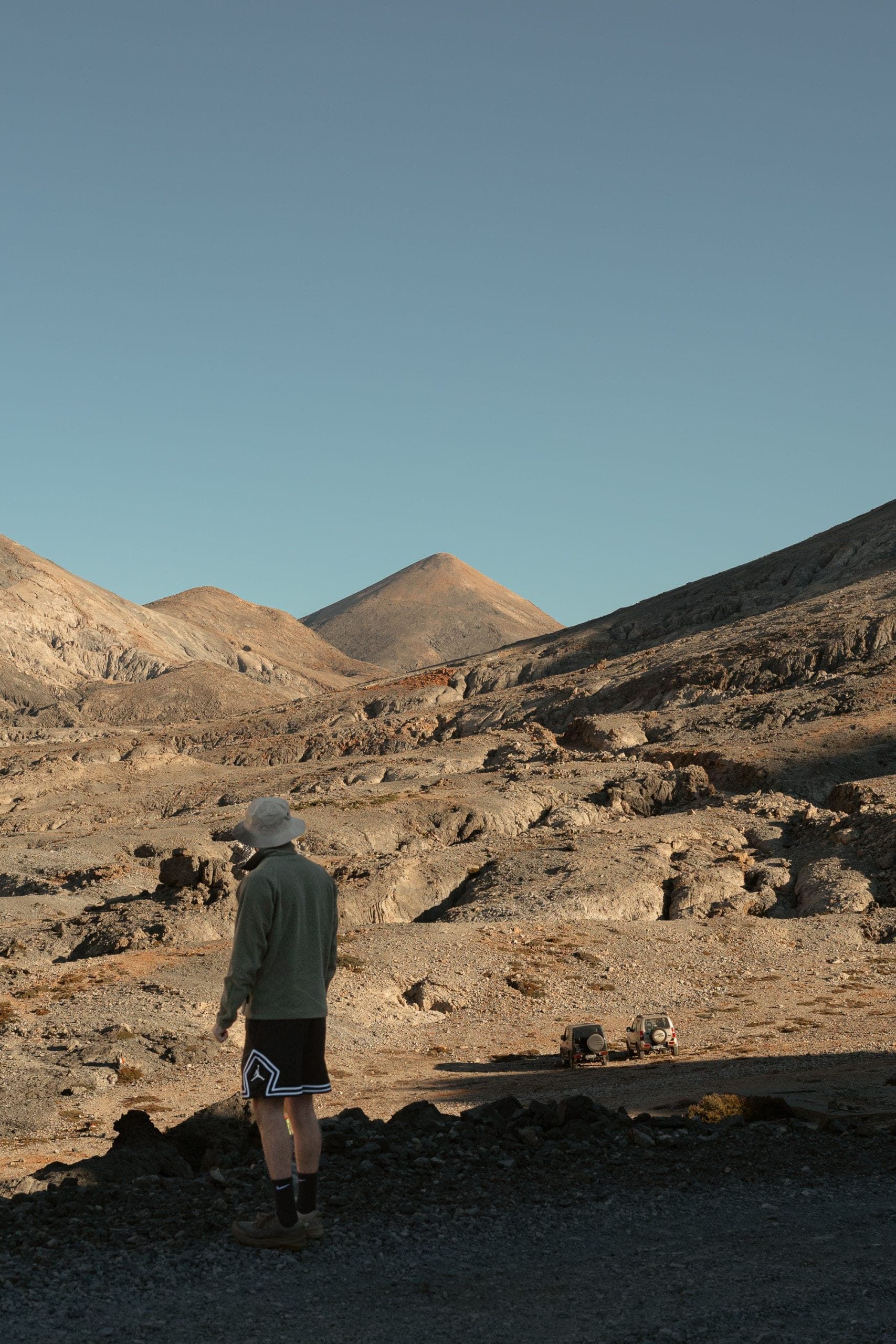
5.0· 62 reviews4x4 into the Madares, then a two-hour trek to the highest peak of the White Mountains.
- 9h
- small group · max 8
- On request
On request
Book this tour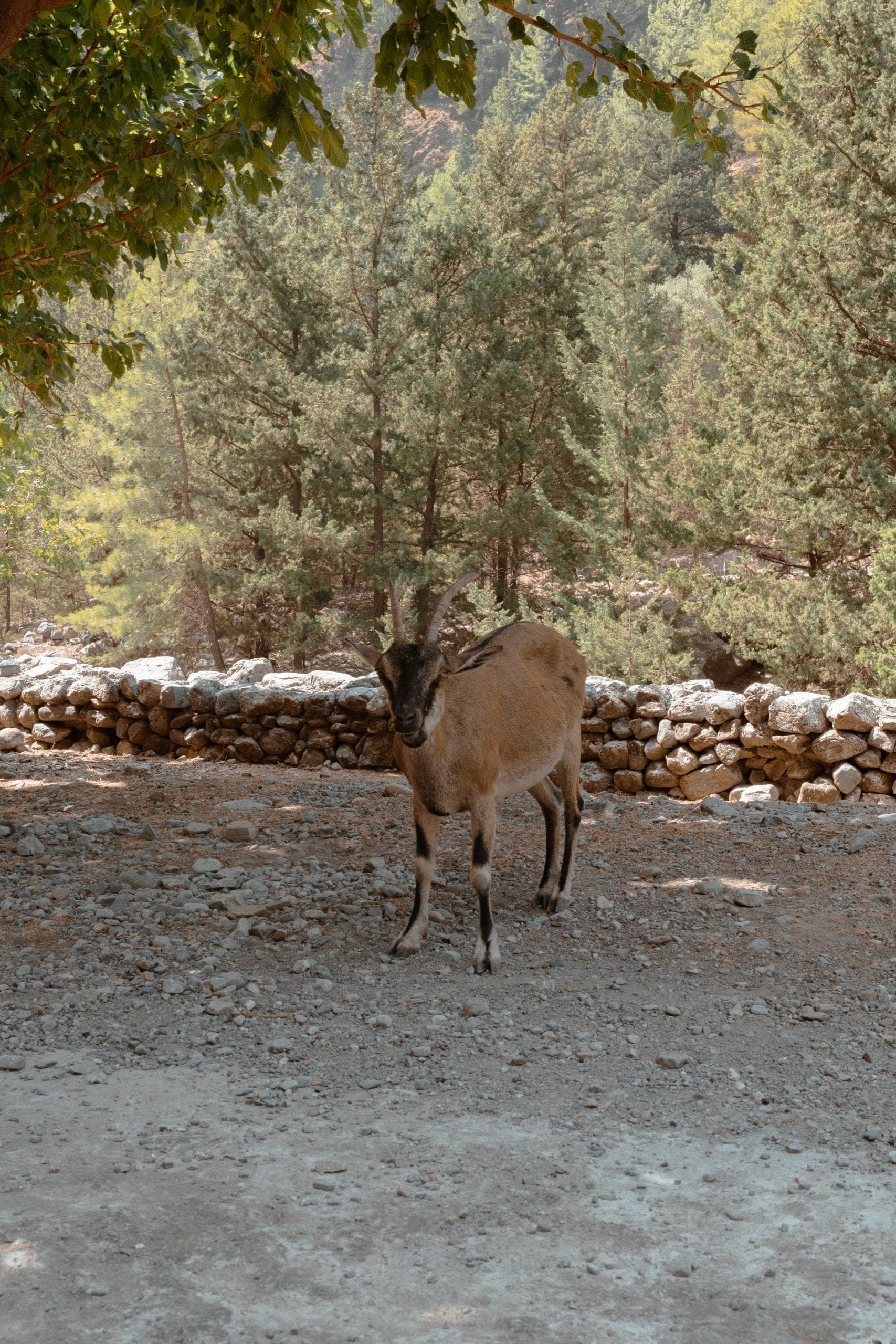 Hiking
Samaria Gorge
5.0· 61 reviews16 km from the Omalos Plateau through the Iron Gates to the Libyan Sea.
- 12h
- small group · max 8
- May–Oct
From €350
Book this tour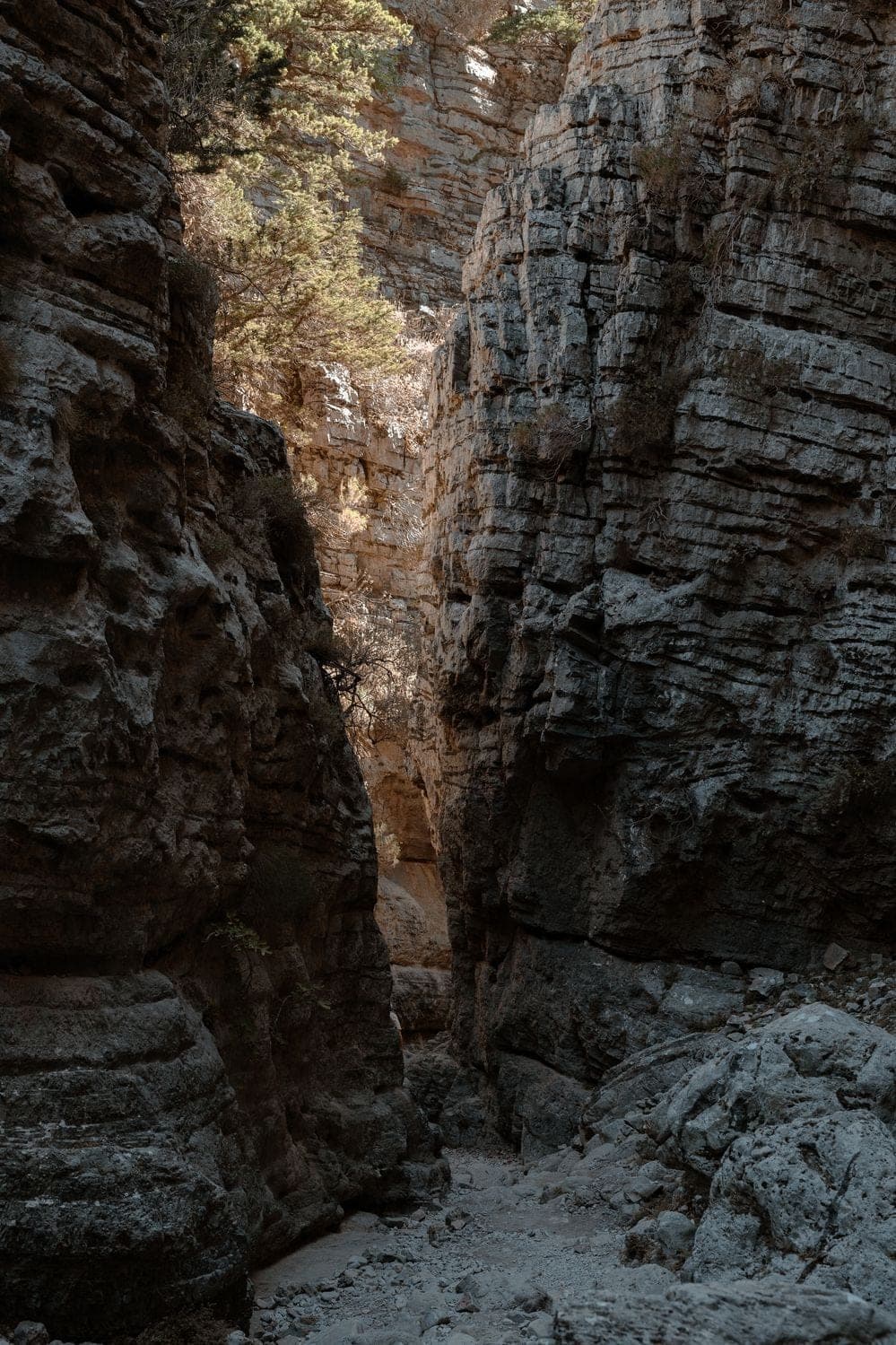 Hiking
Imbros Gorge
5.0· 60 reviewsThe gentle 8 km gorge walk from the White Mountains down to the Libyan Sea.
- 6h
- small group · max 8
- Most days
From €290
Book this tour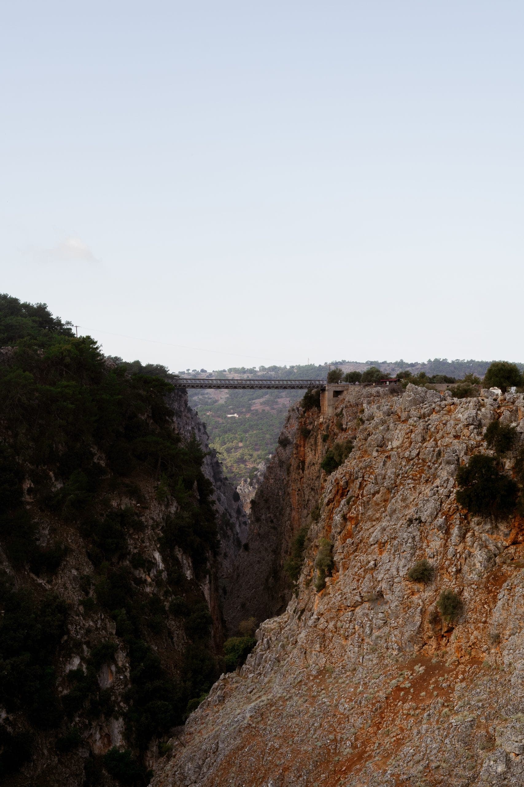 Hiking
Aradaina Gorge & Marmara Beach
5.0· 58 reviewsA wild 520-metre descent through Sfakia to a marble-walled bay on the Libyan Sea.
- 9h
- small group · max 8
- On request
On request
Book this tour